Hiking in Sedona
(October 6, 2022)
Sedona is a charming little city in Arizona, 120 miles north of Phoenix. Known for its gorgeous scenery and stunning red rock formations, Sedona is a hot spot for avid hikers and anyone who enjoys exploring outdoors. I happen to be both, so I made sure to experience the one-of-a-kind beauty when I traveled to Arizona in August of 2022.
Since I was driving to Phoenix from Flagstaff, it made sense to start my day in north Sedona and work my way down. This is the main reason for scheduling the stops in the order I did. I’ll also include timestamps with each stop so you can get an idea as to how much time was spent at each location.
This post will highlight everything I was able to do during my one-day visit in Sedona. Including some of the top hiking trails, delicious food spots, and the culturally diverse shopping centers for all your souvenirs. Let’s start bright and early in the morning!
Sedonuts (6:45am)


Sedonuts is located off the scenic 89A Route, next to the “blue” McDonald’s. This is the only McDonald’s in the world with turquoise arches, so it’s another unique sight you can add to your list. I jumped back in the car and made a pleasant morning drive to the first trail on my list!
Devil’s Bridge Trail (7:30am)
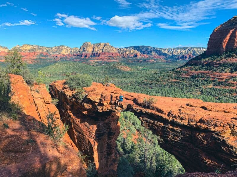
Devil’s Bridge is one of the most popular hiking trails in Sedona. DO NOT skip this one! It’s a relatively short hike, at only 0.9 miles from the trailhead to the rock bridge (1.8 miles roundtrip). However, you will have to hike to the official Devil’s Bridge trailhead, unless you have a high clearance 4X4 vehicle. You can find more parking information for Devil’s Bridge here.

The actual Devil’s Bridge trail is a bit more challenging than the Mescal and Chuckwagon trails. Most of the challenge is in the later half when you are ascending towards the final destination of the trail. A moderately difficult climb up natural rock staircases will lead you to the top of Devil’s Bridge, where you can get pictures on the bridge with the surrounding landscape at your back.
I finished my hike back to the Mescal trailhead parking lot, killed the left-over donuts from breakfast, and began my drive to the next destination!
Amitabha Stupa and Peace Park (10:20am)
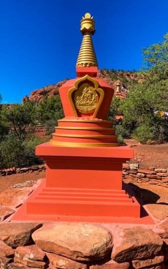
Only a 13 minute drive from the Mescal trailhead is the Amitabha Stupa and Peace Park. It is a quick 0.3 mile loop with shorter, decorative trails intermingled within the loop. The park presents a quiet and peaceful atmosphere with uniquely built stupas and other attractions. You can read more about stupas and a detailed history of the park here.

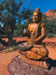
After a relaxed hike through the peace park, I drove 30 minutes east to the Mago Cafe. They’re known for their home brewed kombucha, which sounded refreshing after a morning of hiking. I can’t recall the exact flavor I got, but it was very distinct from other kombucha drinks I have had previously. Unfortunately, I heard the Mago Cafe is now closed. However, there is a Sedona Wellness Cafe at the same location which appears to be very similar.
As I sipped away my kombucha, I walked along North State Route 89A and browsed through the various shopping stores down the strip. I wasn’t really looking to buy anything, but I found some cool, hippy-colored hooded sweaters at the Sedona Artwear & Shirt Co. I found one in a very Sedona-esque color scheme that was a perfect fit, so I got it as a souvenir. They were only $20 if I remember correctly, so it was a nice deal.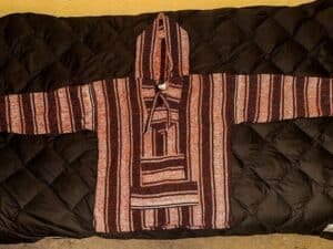
Before I found more cool stuff to spend my money on, I decided to get back on schedule and move to my next stop.
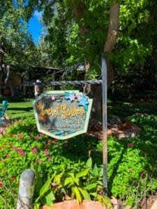
Tlaquepaque Arts & Shopping Village (12:30pm)


Broken Arrow Trail (2:00pm)
My next stop was the 2.9 mile out-and-back hike on Broken Arrow Trail. This is another popular hike in Sedona with stunning views of the vast red rock landscape. The trail is a mix of wide open rock to roam across, connected by narrow trails through rich green trees and other shrubbery. It’s a dynamic landscape all the way through.
Here are a few photos I took to capture the different feelings throughout the trail:
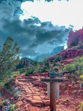
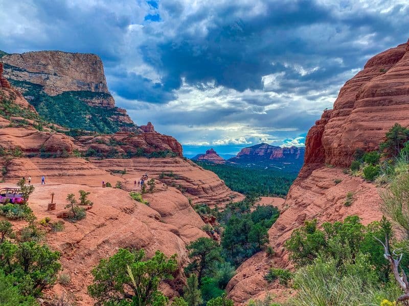

The panoramic views at Chicken Point Overlook at the end of the trail are mesmerizing. Pictures never seem to do the views justice, but I can assure you this hike is worth the time and effort.
I left the Broken Arrow trailhead at roughly 3:10pm and made a quick 6 minute drive down 179 to my next destination.
Chapel of the Holy Cross (3:20pm)

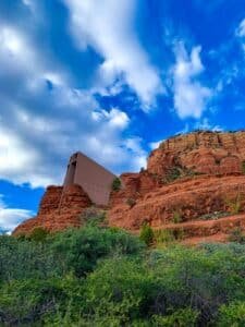

You can step inside the main ceremony room and walk down the short staircase to browse through the gift shop below. This is another great opportunity to snag some unique souvenirs, as many of the items for sale can only be found there at the shop. If you’re interested, you can read more information about the chapel’s history and services on their website.
I finished up at the chapel and started my way to my last hike for the day, Bell Rock!
Bell Rock Trail (4:40pm)
I’ll start by saying this was my favorite spot of the day! The trail itself is only 0.8 miles roundtrip. However, there is some optional climbing you can do after the trail ends, and this climb is where the real fun happens.
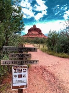
Note: If you plan to make this climb, I would strongly recommend you wear a snug pair of hiking shoes/boots with good grip. I recall hiking up portions of the rock that were very steep with not much to hold onto.
Also, there are different heights of the rock you can climb to, and there are multiple paths you could take to each different height. So the path I am describing might not be the same one you experience.
After about 10 minutes of climbing from the end of the official trail, I reached the highest point of Bell Rock that I felt I could safely climb to. The view at this height was absolutely breathtaking! Looking out for miles over the wide open red rock range and watching the tiny cars drive along 179 way down below.
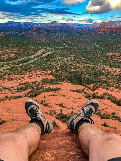
Again, my pictures and videos don’t justify the experience, but surely you can get an idea.

One Last Stop (5:40pm)
Once you get back on 179 (southbound) from Bell Rock, you will drive through Village of Oak Creek. After a long day of hiking and being on your feet, ice cream always sounds good! There’s a small mom-and-pop ice cream shop in Oak Creek called Rocky RD Ice Cream who make their own flavors of handmade ice cream. Just like the sweet start at Sedonuts, it seemed fair to end the day on a sweet note too.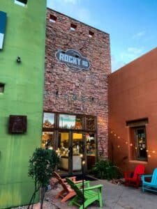
The drive out of Sedona was enjoyed by one final sight of the gorgeous red rocks, now with the sun setting. It was a wonderful day all around. I would recommend all the hiking trails, landmark sites, and food stops mentioned in this trip to anyone who is planning a trip to Sedona.
Let me know how you liked this post and if it helped you plan your own trip. Or if you have more experience in Sedona, let me know what I should plan for my next visit. I will definitely be back!
